| Flood Hazard Probability (based on Historic Data) Maps and Exposure of Schools and Hospitals in each district (PDFs) |
1. Thiruvananthapuram |
| Flood Hazard Probability (based on RCP 8.5 Climate Change Scenario) Maps and Exposure of Schools and Hospitals in each district (PDFs) |
1. Thiruvananthapuram |
| Flood Hazard Probability of Kerala based on Historic Data (Raster File Zip) (Reference: UNEP, UN GRID, CIMA Italy, KSDMA, 2020; Flood Return Probability Assessment of Kerala & M/S RMSI and National Insurance Academy,2024) | Flood Return Probability (10, 25, 50 years) Flood Return Probability (100, 200, 500 years) |
| Flood Hazard Probability of Kerala based on RCP8.5 Climate Change Scenario (Raster File Zip) (Reference: UNEP, UN GRID, CIMA Italy, KSDMA, 2020; Flood Return Probability Assessment of Kerala & M/S RMSI and National Insurance Academy,2024) | Flood Return Probability (10, 25, 50 years) Flood Return Probability (100, 200, 500 years) |
| Landslide Susceptibility zones of District of Kerala (GSI, 2022)- Shape files | |
| Landslide Susceptibility Zones of Districts of Kerala (GSI, 2022) | 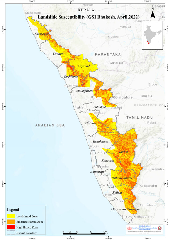 Click here for the PDF Map |
| Flood hazard probability – area under inundation (UNEP-KSDMA, 2020) | 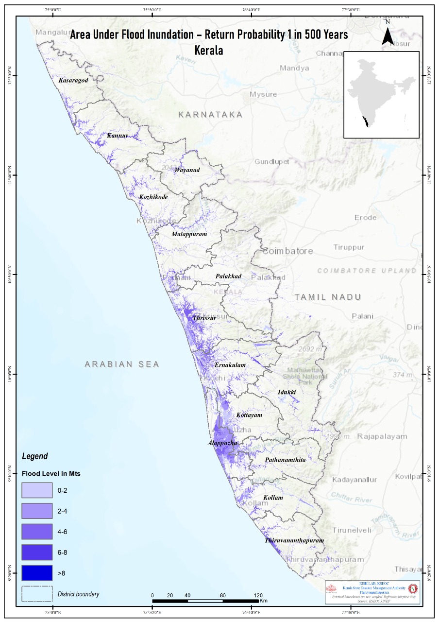 Click here for the PDF Map |
| Landslide Susceptibility Map of Kerala (NCESS, 2010) | As Geological Survey of India (GSI), the National Nodal Agency for Landslide Hazard Susceptibility Mapping has published the landslide susceptibility map of Kerala, the LSM of GSI will replace all other maps used in any document published by KSDMA. Therefore, the link to the susceptibility map prepared by NCESS is removed from here. |
| Landslide Susceptibility Map of Kerala (NCESS, 2010) | As Geological Survey of India (GSI), the National Nodal Agency for Landslide Hazard Susceptibility Mapping has published the landslide susceptibility map of Kerala, the LSM of GSI will replace all other maps used in any document published by KSDMA. Therefore, the link to the susceptibility map prepared by NCESS is removed from here. |
| Drought Susceptibility Map of Kerala | 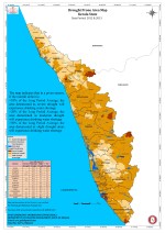 Click here for the Map |
| Lightning Incidence Map of Kerala | 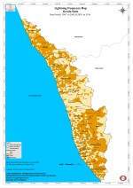 Click here for the Map |
| Soil Piping Affected Areas of Kerala | 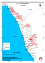 Click here for the Map |
| Earthquake Incidents and Lineaments of Kerala | 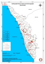 Click here for the Map |
| Coastal hazard Susceptibility Map of Kerala | 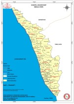 Click here for the Map |
| Natural Radioactivity |  Click here for the Map |
| Road Accident Blackspots of Kerala |  Click here for the Map |
| Major Industrial Accident Hazard Zones of Kerala | 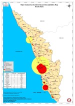 Click here for the Map |
| Major Festival Hazard Zones of Kerala |  Click here for the Map |
| List of Drought Susceptible Villages of Kerala with severity classes | Click here for the List |
| List of Landslide Susceptible Villages of Kerala | Click here for the List |
| List of Flood Susceptible Villages of Kerala | Click here for the List |